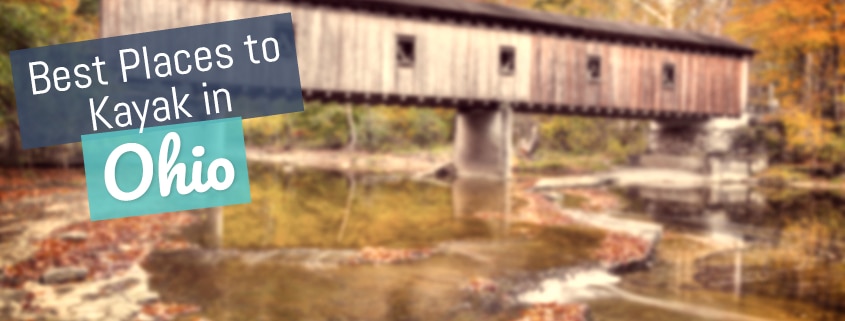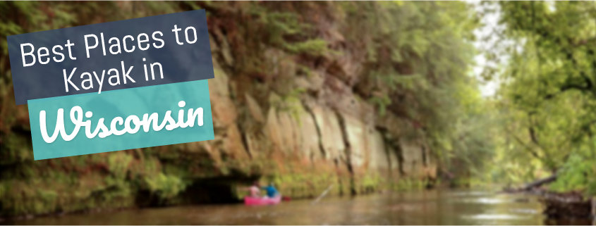
Traveling to Wisconsin for summer paddling is a great, active way to spend a vacation in nature.
There is LOTS of water in the state:
- 43,000 miles of rivers
- 15,000 lakes
- 659 mile of Great Lakes shoreline
You can find a complete list of water trails and paddling locations on travelwisconsin.com, but I wanted to give a teaser of what you can expect. Here is are some of the best places to go kayaking in Wisconsin.
Contents
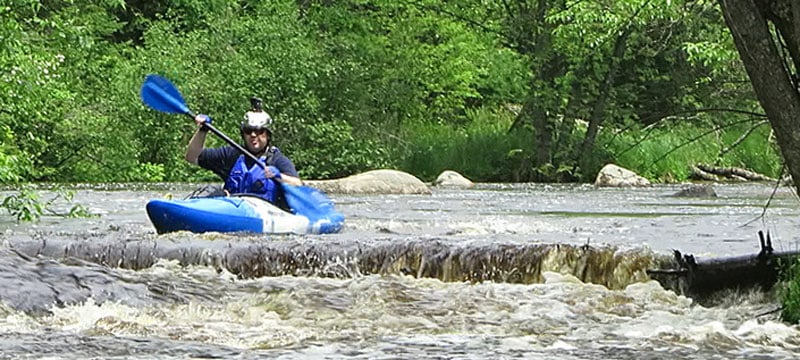
Lower Wisconsin State Riverway
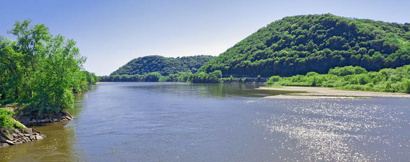
The Lower Wisconsin State Riverway runs 92 miles from Sauk Prairie to the Mississippi River confluence. It is one of the longest free-flowing stretches of river in the area.
The Riverway is great for beginner or experienced paddlers looking for a calm, scenic trip. Even though it is a river, it provides a flatwater kayaking experience. Best of all, there are no rapids or dams to go around.
There is a lot to see on Lower Wisconsin State Riverway. You’ll pass through dense forests, sandbanks, savannahs, open prairies, and sloughs. There are hundreds of sandbars and dozens of islands to explore as well. You’ll see (and hear) an amazing variety of birdlife, estimated to be around 250 species in total. Even bald eagles are common.
The riverway has many entry points, shuttles, free parking, and kayak rentals. You should definitely stay for at least an overnight camping trip if you’re in the area.
More info on the Lower Wisconsin State Riverway
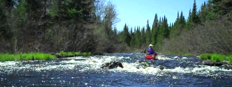
Flambeau River
The Flambeau River, located in northern Wisconsin, descends from 1570 feet to a 1060 feet elevation as it flows to meet the Chippewa River. It is a tremendous recreational waterway, known for the diverse wildlife, fishing, and forests of Hemlock-Hardwood majesty.
You can paddle the northern or southern sections of the river.
The river and its two forks have a few different possible expedition lengths, from short day outings to multi-day camping and even voyages that may last several weeks.
The northern section is mainly preferred by beginners or those who are looking for a leisurely paddle, while the southern section offers aggressive waters for thrill-seekers.
Both the northern and southern forks are surrounded by a diverse forest of trees, including red oak, sugar, red maple, yellow birch, and white ash. The banks are also lined with stands of conifers.
This ecosystem boasts of wildlife such as black bears, white-tailed deer, wolves, and coyotes.
Fishing is significant, too, with smallmouth bass and muskie living in the water.
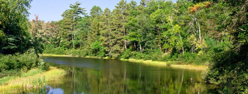
La Crosse River
The La Crosse River flows through expansive meadows and wooded bluffs in Southwestern Wisconsin on its way to the confluence with the Mississippi River. The river is fed by a spring and thus maintains a good water level throughout the year. The water is clean and clear, and the bottom is sandy.
There’s a section of the river from Sparta to Rockland that offers paddlers the most scenic views, wildlife, and fishing. Put your kayak in at Fisherman’s Park in Sparta and follow the river as it roams through wetlands and prairies. Expect some riffles and four moderate ledges that will be delightful to take on.
The river is a habitat for diverse wildlife, including white-tailed deer, waterfowl, blue heron, snakes, and trout. You can bring your own kayak or get one from local outfitters.
Namekagon River
The Namekagon River is also located on the northern side of Wisconsin and forms part of the National Wild and SCENIC River System. Its name is Ojibwe for “plenty of sturgeons”, a type of fish.
But cold water fishing is not the only activity to attract you here; the river stretches and meanders through various small islands and towns, offering a good look at the rural and forested Wisconsin landscape.
Paddling the river shouldn’t be an issue. The rapids are rarely of Class II. However, paddling near its head gets a bit difficult late in the season when the water gets shallower.
Other stretches to paddle include the Namekagon Dam to Cable Wayside, the Phipps Landing to Hayward Landing, and Howell Landing to the Riverside Landing.
There are many camping spots along the waterway, so you can arrange multi-day trips and get a satisfying feel of the area.
Manitowish River
Manitowish River is one of Wisconsin DNR’s top paddling routes. It flows through the Northern Highlands-American Legion State Forest and connects to several lakes before forming the Flambeau River’s North Fork.
With several access points and campsites, you can design any trip length. Downstream, the river has a reliable current that appeals to quiet water enthusiasts to follow as it meanders through prairie and marshland.
It is excellent for people of all skill levels, and even though it connects with several lakes, the paddling is an authentic river-like experience. The flow is gentle, with a calm current and only occasional riffles.
The first half of the river is slim and wooded and offers the best views as the river flows through marsh grasses, pines, and tall wooded banks. Then past high 47, it veers south and becomes even more secluded. There’s no landing until Murray landing on Turtle-Flambeau Flowage. The river is a habitat for beavers, eagles, deer, mergansers, herons, and minks.
Bois Brule River
The Bois Brule River flows from Stone Bridge to Lake Superior and offers paddlers one of the most consistent water flow and scenic beauty. If you want to experience a quiet stretch of the river, consider paddling the upper section. The water here is calm and flows through a narrow, serene setting with small lakes and quiet pools before incorporating several fun chutes and rapids in its way.
The water then flows through another quiet setting before roaring over a series of aggressive rapids and ledges and then winding through a narrow valley. As the river approaches Lake Superior, it gradually widens and slows.
Most of the river passes through Brule River Forest, a habitat for numerous songbirds, deer, beavers, and otters. You’ll also spot eagles and ospreys.
For fishing, brook and rainbow trout are the most common species.
More info on the Bois Brule River
Wisconsin River
From its origin in the north to its confluence with the Mississippi in the South, the Wisconsin River flows through glacial plains, hills, and rapids and has several kayakable sections.
The lower section of the river appeals to those looking to paddle vast waters. It’s flat and over a hundred yards wide. It offers quiet paddling as there are no dams and rapids to struggle with. Put your kayak in at Prairie Du Sac and follow the river to Sauk City. Expect dense forests, wildlife, and tall cliffs.
For aggressive waters, head over to the section of the river near Wausau. There’s a whitewater park that attracts the best boaters and even holds competitions. Join the races and showcase your skills.
Some of the wildlife you’ll likely see here include white-tailed deer, coyotes, fox, otter, beaver, and muskrat. You can also catch a few walleyes, muskellunge, and northern pike.
More info on The Wisconsin River
Peshtigo River
The Peshtigo River is famous for two reasons: it’s got the most and largest rapids in the state, and secondly, it’s where the deadliest fire happened in 1871, killing an estimated 1500 – 2500 people.
So as you paddle the take on class I to IV whitewater to enjoy the scenic surrounding and invigorate, please pay your respect to the dearly departed.
The water trail on the upper section of the river from Dam Landing is the most challenging, except for unforgiving rapids, narrow chutes, large waves, and sizable boulder gardens. Indeed, the stretch is referred to as the Roaring Rapids section. Don’t take on the waters unless you are sure of your skills. Experts will find it a paradise,
For people with intermediate skill levels, try the Goodman Park to Farm Dam water stretch; and for beginners, the Big Joe to CC Bridge stretch is for you.
More info on paddling the Peshtigo River
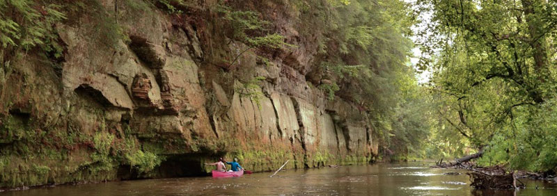
Pine River
Pine River is a scenic stream that makes its way through the rocky bluffs of Richland County.
You can put your kayak in at Rockbridge in Pier County. There are local outfitters to rent from if you didn’t bring your own.
The stretch from Rockbridge to Richland Center is popular among kayakers. It’s about 30 feet wide and very windy. It’s also known for spectacular rock outcroppings that’ll make you feel you’ve been transported back to ancient times when everything was undammed by human activity.
As you approach Richland Center, the river slows down. The views of the town from the waters are magnificent. This spot is also suitable for beginners to learn how to kayak.
Exit your kayak at County Road AA. You can spot kingfishers, great blue herons, colorful butterflies, and even farm animals.
The approximate time to complete the trail is 6 hours at most.
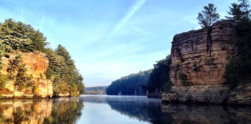
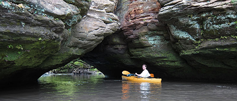
Kickapoo River
The Kickapoo River in Wisconsin’s Driftless area flows through the deep valleys and cliffs of towering limestone rocks. If you want to catch the most scenic view, put your kayak in at Ontario and paddle the river as it winds through Wildcat Mountain State Park and then the Kickapoo Valley Reserve towards La Farge. Visit the trail during fall, when it is even more beautiful.
The water here is clean and calm as well. The current is neither weak nor strong, making it great for all the skill levels.
There is only one damn, located near Gays Mills. Because this is the most popular section of the river, it is best you plan your trip for sunrise or sunset to avoid congestion.
More info on the Kickapoo River
Red Cedar River
The Red Cedar River flows in the Southwestern direction from Northeastern Wisconsin to the confluence with the Chippewa River in the South.
It has many sections perfect for kayaking, but the trail stretch from County Road W to the Boat Launch at Colfax Park is the most popular one.
This section of the river offers stunning sequences of gorgeous rocks, hills, and gorges. Both beginner and experienced kayakers can paddle the trail. You’ll spend a day relaxing on the waters and enjoying views of mysterious creatures such as sandhill cranes, geese, bald eagle, and also red fox.
You can also paddle the lower section of the river from Menomonie to Dunnville and enjoy a hustle-free ride through rolling hills, the remarkable Accordion cliffs, and the pristine sandbank.
More info in the Red Cedar River
The locations above are some of the best places to go kayaking in Wisconsin. If you know of any amazing water trails or sighs only accessible to paddlers, please let me know in a comment below.
Also, if you are a kayak outfitter at any of these spots and would like to be featured on this page, feel free to get in touch.